

No CrossRef data available.
Article contents
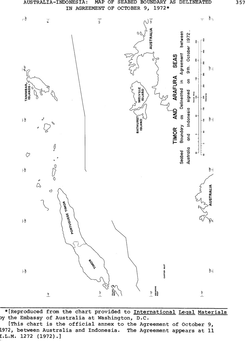
Australia—Indonesia: Map of Seabed Boundary as Delineated in Agreement of October 9, 1972 *
Published online by Cambridge University Press: 04 April 2017
Abstract
An abstract is not available for this content so a preview has been provided. Please use the Get access link above for information on how to access this content.
- Type
- Treaties and Agreements
- Information
- Copyright
- Copyright © American Society of International Law 1973
Footnotes
*
Reproduced from the chart provided to International Legal Materials by the Embassy of Australia at Washington, D.C.
[This chart is the official annex to the Agreement of October 9, 1972, between Australia and Indonesia. The Agreement appears at 11 I.L.M 1272 (1972).]
References
* Reproduced from the chart provided to International Legal Materials by the Embassy of Australia at Washington, D.C.
[This chart is the official annex to the Agreement of October 9, 1972, between Australia and Indonesia. The Agreement appears at 11 I.L.M 1272 (1972).]