No CrossRef data available.
Article contents
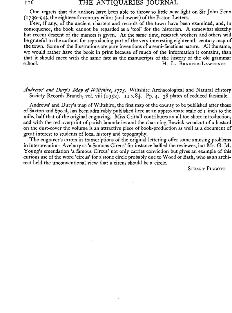
Andrews’ and Dury's Map of Wiltshire, 1773. Wiltshire Archaeological and Natural History Society Records Branch, vol. viii (1952). 11 × 8½. Pp. 4. 38 plates of reduced facsimile.
Published online by Cambridge University Press: 29 November 2011
Abstract
An abstract is not available for this content so a preview has been provided. Please use the Get access link above for information on how to access this content.

- Type
- Reviews
- Information
- Copyright
- Copyright © The Society of Antiquaries of London 1964


